The Best of the Berkshires: Hike Mt. Greylock, Massachusetts’ Highest Point
Sunrise view of Mt. Greylock from my favorite vantage point of Massachusetts’ highest peak: Stony Ledge.
Greylock was my first, “serious” solo hike back in September 2017. I say serious because it was the first time I drove a bit of distance to hike roughly seven miles alone. It was something I always wanted to do, and figured by picking the highest point in Massachusetts, in September, with stretches on the loved Appalachian Trail, there would be other hikers on trail or visitors driving up Greylock Road if I needed something.
Looking back now, seven years later, it’s incredible to think back to how much I’ve changed in the outdoors since then. I thru-hiked for nine days in the most remote corner of the Adirondacks, hiked all 115 4,000 foot mountains in the Northeast, and even have five incredibly memorable days in the woods completing a handful of the Northeast Ultras.
One thing I never thought I’d see myself doing is trail running. As much as I love hiking and being outside, I thought my running would forever be limited to the road because I already trip going uphill while trekking. As with most things, I like to try everything once. Two years ago I found myself wanting to quicken my pace to reach a sunset atop a local summit (my favorite one in fact—Tekoa Mountain in Westfield, Massachusetts). I started trail running to not miss the sunset, and realized I kind of liked it. Since then, I’ve taken up trail running as much as I can get out on the trails and now have a trail running buddy who may love it even more than I do.
Despite always being willing to try things once, there are several things I would not repeat. Like hiking to the summit of Greylock. I haven’t revisited Massachusetts’ high point in years because the view from Greylock’s summit is underwhelming to me. A few years ago I discovered a new angle of Greylock that I absolutely love and have frequently found myself returning to—the view from the Stony Ledge overlook.
I decided to give Greylock another try, but this time, I wanted to add in my favorite view, and a few extra stops for more elevation gain. I ascended Stony Ledge, then summitted Mt. Greylock, followed up with Mt. Fitch and Mt. Williams for a wonderful stick season traverse. This might be one of my new favorite hikes in Massachusetts. Here’s the route and why it made it to my list of favorites:
1. Great training for more serious hikes (like the high peaks in the Adirondacks or the 4,000 footers in New Hampshire).
Greylock is the highest point in Massachusetts, and it still doesn’t quite compare in terms of feet to the peaks of the Adirondacks or the White Mountains. This loop, however, has 3,300 feet of elevation gain over 12 miles. It feels like a day up north without the long drive from Western Massachusetts.
2. Ample parking.
Since I went just days prior to the road up the mountain closing and I arrived prior to sunrise, there wasn’t a car in sight. The parking lot at the end of Hopper Road in Williamstown, MA is large enough for several cars and still had parking available when I returned around noon.
3. Well-worn and well-maintained trails.
As much as I love the Adirondacks for their grittiness and ruggedness, there is something about being able to trail run without obstructions consistently amidst your feet (and being able to look up occasionally to take in the view too).
The best way to hike Mt. Greylock and enjoy the best that the Berkshires have to offer is along the Mt. Greylock, Stony Ledge, Mt. Fitch, and Mt. Williams Traverse. There are plenty of other routes up to Greylock, much faster ones too, but this one truly has it all and it’s a loop. Win-win.
Here’s the route I took (and would definitely do again):
Starting Point: Haley Farm Trailhead at 1033 Hopper Rd, Williamstown, MA 01267
Hopper Road > Haley Farm Trail
The trail starts off nice and flat from Hopper Road. The first right turn takes you very swiftly up a steep incline up Haley Farm Trail. It’s roughly 1,500 feet of elevation gain in a mile and a half. I chose this route because I hoped to see the sun rise behind Mt. Greylock from Stony Ledge. It was a bit overcast, but I’m glad I conquered much of the morning’s gain in the first stretch. Though the Haley Farm Trail feels relentless at times, the view from the summit is totally worth it. There are a few overlooks with benches to rest at too. Racing the sunrise didn’t leave me much room to relax. I pushed through to the summit and spent some time soaking it in. Stony Ledge has a picnic table at the top too, making it an ideal hike at any time of day.
After enjoying a cloudy sunrise, I continued on Sperry Road. This one’s another favorite! There are several campsites and bear-proof food storage lockers at each site that you pass along the way that I continuously remind myself I need to return to one day for an overnight. The Sperry Road Campground located within Mt. Greylock State Reservation is currently closed for renovations and off-season now at the end of 2024. It reopens mid-May to October and is hike-in only. Definitely on my list to camp at one of these days!
Sperry Road > Hopper Trail
Time for the real gem of this hike – the Hopper Trail. There are a few access points to it, but I continued on Sperry Road until where the Campground Trail interests with Sperry Road and the Hopper Trail. I took a left on the Hopper Trail then, and continued upward. This is where I saw the first hiker of the day. The Hopper Trail continues until you come to a split with the Overlook Trail.
Overlook Trail > Appalachian Trail > Summit
I veered right, though you could go left for a bit to see Mt. Greylock from a different vantage point. I knew I had a long day, so I headed straight to the summit. The Overlook Trail merges with the Appalachian Trail heading north. Soon there is a small pond on the left of the trail. The pond has a small cabin that in years past hikers could walk into. As of November 2024, the trail to the cabin is closed for restoration purposes. The pond is a great landmark for being near the summit.
Just after the pond’s serene views is the road intersection of Notch Road and Summit Road. Continue on north along the Appalachian Trail to the iconic, 92-foot granite tower atop the summit of Mt. Greylock.
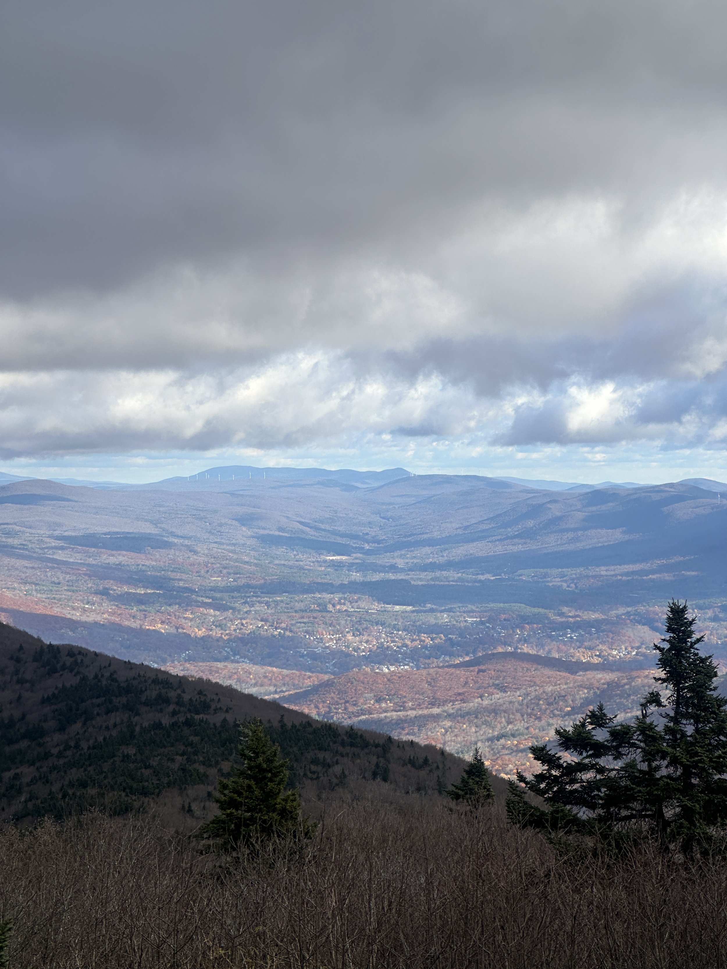
I walked up to the Veterans War Memorial Tower, only to find the doors locked. I figured it was due to heavy winds that morning, but just as I turned around, a Mount Greylock State Reservation employee approached the door and unlocked it. I made my way around the spiral staircase to the top. I had endless views of Vermont, the Catskills and the serene Berkshires all to myself for a few minutes. After seven years and a few hikes at this summit, I finally experienced the hype of Greylock. I headed down as others made their way up the tower, and onward to my next peak.
Appalachian Trail > Money Brook Trail
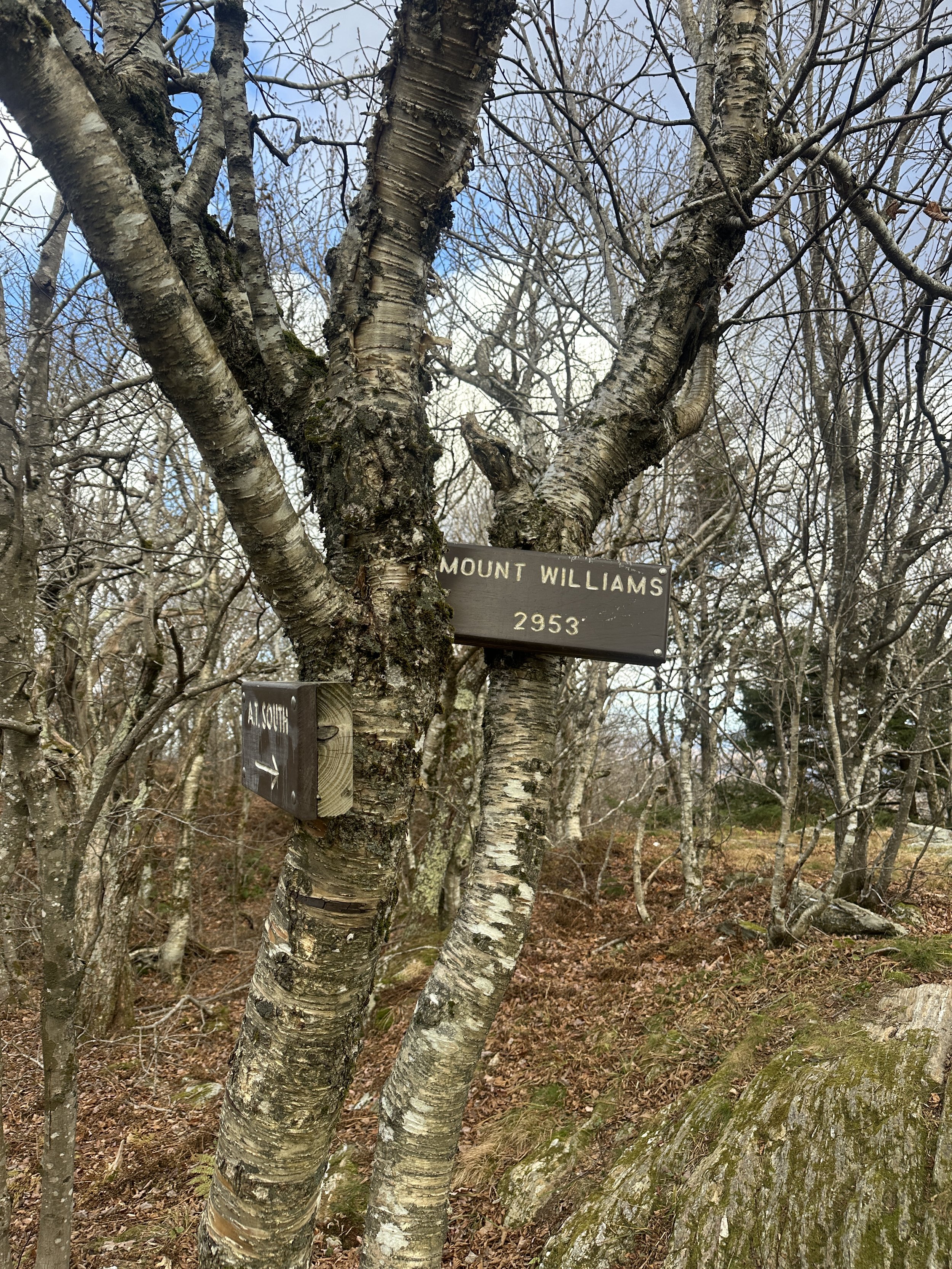
This stretch of trail might’ve been my favorite of the morning. I barely saw a soul, hiked up and over Mt. Fitch and Mt. Williams, and passed by a neat campsite at Wilbur Clearing. The privy even had AT carving into it. I took a detour to Money Brook Falls. With a totally sunny October without rain, the falls weren’t rushing.
Money Brook Trail > Hopper Road Parking Lot
After the detour to the falls, I continued pack downhill on the trail. The trail follows the brook for almost the entirety of the route back to the car. Fall foliage was gone by the end of October up at the summit of Greylock, but a few leaves remained along the Money Brook Trail.
End Point: Haley Farm Trailhead at 1033 Hopper Rd, Williamstown, MA 01267
This route definitely changed my mind about Mt. Greylock. A quiet, late autumn morning on a longer traverse made me love this state’s high point.
Have you hiked Mt. Greylock? If you enjoyed learning about this route, then you may enjoy these hikes around the Northeast:
Hike the Vermont 5 4,000 Footers
Lake Placid 9er Hiking Challenge
Twins Zealand Bonds Traverse (part of the NH 48 Challenge)


